
September 14, 2023
16.4 Miles
I was up early after one of the best nights’ sleep I’d had on the trail. The small dry campsite I had set up in the night before gave the illusion of protection, tucked into the laurels high up on a ridge. There were no animal tracks or footprints around the site, so the senses that protect me while I sleep let me drop into a deeper REM sleep.
Deep sleep does not often happen on the trails as my mind listens to the night sounds, drifting in and out of light slumber. A twig breaking, whippoorwills sounding off, the cries of owls and tree frogs – all of these quickly bring me from sleep to alert throughout the night.
I was up early for the sunrise and to make sure I met my shuttle on time about 16.4 miles away at Tablerock State Park. I only had one big climb for the day, with the rest being a roller-coaster of hills as I made my way down to the State Park.
I had set up my shuttle with Jessica “Taps” who lived in Asheville. She hiked the AT in 2021 and posted her information on the Farout App. as available to shuttle to and from the Foothills Trail. I reached out and set up the ride. The cost was just the cost of gas – very reasonable, so she is really more of a trail angel.
I dropped down to the intersection with Eastatoe Gorge Trail and crossed the Boardwalk bridge to begin the big climb for the day. Three miles later, I popped out to a beautiful memorial or Sassafrass Observation Tower.
Planning is one of the things I enjoy about my hikes, but I don’t over-plan because I don’t want to lose the adventure and discovery of the hikes completely. I had noted a tower on my map but had not studied the notes on Farout. The tower was a beautiful Memorial with 360-degree views and a complete surprise!


It was a gorgeous day, and the views were fantastic! I was amazed there were no people other than three “hawkers” with their binoculars glued to their faces. I hung out for a few minutes, admiring the views and the little placards around the edge of the banister. They explained each view as I turned – Clemson, Hendersonville, Highlands, etc.
I was not there long before hiking down the paved path that led me through a parking lot and back to the trail. It was not long before I crossed an intersection with the Palmetto Trail, and I paused to gaze out through the trees. The Palmetto Trail looked much less used, and I put it on my list to research when I returned home. It might need hiking.
Over the course of the day, I passed a few more campsites that were either listed as “dry campsites” or “forbidden campsites.” The forbidden sites appeared to get more use, which was no surprise. I’m not sure why they are listed. That is like a magnet for some hikers, in my experience. 🙂
After passing the forbidden campsites and crossing the State Park boundary, I had a short steep descent, bringing me to some of the best views on the hike. As puffy, white cotton clouds floated past, I gazed out over sweeping foothill vistas. The sense of “smallness” hit me like a sledgehammer! We live on a beautiful planet. I could see why this state park is so popular.
The granite slabs were a perfect place for a break, and in mid-September, I was in shorts and a t-shirt with temperatures in the upper 70s. I had the mountain all to myself, so I stretched out and sunned for a while before finally rising stiffly to my feet and beginning the trek down the mountain to meet my ride.
The four or five-mile hike down the mountain was not hard. The trails were obviously well-used and well-maintained, with waterfalls and other water features along the way. The last couple of miles along the creek were beautiful and this is definitely a state park I would visit often if I lived in this part of the state.
I did finally see a few visitors down near the visitor center. There was a family hunting mushrooms and several families swimming in the creek. The visitor center had closed, but the bathrooms were open, so I could clean up a little before my ride arrived.
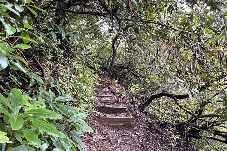
The Foothills Trail is beautiful in the foothills of the Carolinas. It is well maintained with more bridges and stairs than I have seen on any other trail – more than some 2,000-plus mile trails I have hiked. It is a tough trail, too, so don’t underestimate the trail if you decide to hike portions or the whole thing.
There was very little I did not like about the trail, and I would hike it again if there were not so many other places to explore. The one drawback is cleanliness. Many campsites had toilet paper, wipes, and garbage in the fire rings. The trail appears to be used a good bit by overnight campers with less experience with Leave No Trace (LNT) principles, so keep that in mind when taking overnight trips.


