April 23, 2022
The weather on the Arizona Trail makes it one of my favorite long-distance hiking trails. Throughout the entire hike, I had one day with rain showers. The trail was colder than I expected, especially on the plateau after Pine, AZ, but I prefer sleeping in colder temperatures. Burrowing under my quilt in a small envelope of warm air is much better than thrashing around and sweating in the heat.
I awoke to clear skies, cold temperatures, and Farside Elk staring at me outside my shelter. Robin Egg blue skies with dry, clear air were going to make this a classic Arizona hiking day.
It would also be a long day, so I woke up a little before the first light. The excitement of a town day – mostly town food, flooded my brain as soon as my eyes cracked open. I only had a liter of water, so I ate a bar, packed, and started hiking. The hiking was flat, and the morning was cold, so I was moving out of the gate with about 27 miles to reach the turn-off to Flagstaff.
I was initially going to take the AZT around Flagstaff and hitch back in from the city’s northern side, but the Tunnel wildfire closure required I take the “other official AZT route” through town.
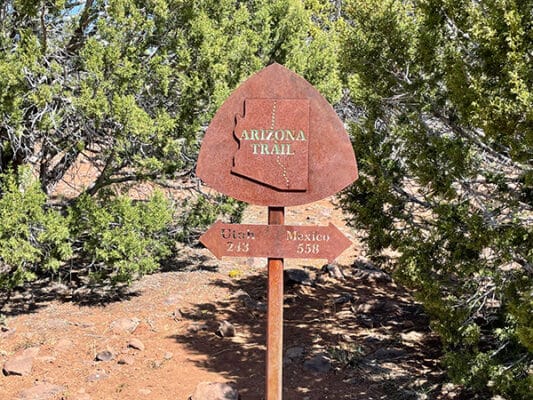
I usually try to hike the trail as intended. There are always alternate routes like Cirque of the Towers on the CDT or Eagle Creek on the PCT, but mostly I hike the trails. People have called me a purist in the past, but I’m not sure that really applies since I don’t feel the need to cover every single step of an “official” trail.
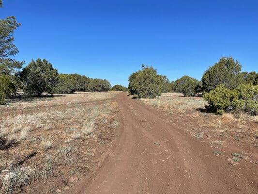
Much of the morning took me along a single track across a grassy, rocky plateau, weaving in and out of Ponderosa trees and Chaparral shrubs. The hiking was pretty flat and easy until I transitioned to miles of flat, rocky forest service roads.
The rocky forest service roads were brutal, with large and small rocks so thick that I mostly had to walk across them. My shoes were already rubbing my feet, and the constant rock pounding had my feet screaming. By mid-afternoon, I found myself taking breaks about every 5 miles and even popping Advil, which I had not done on this trail except one other time.
Humboldt Mountain broke up the relentless pounding rocks as it rose above the treeline in the distance. I was captivated by its jagged snow-covered ridges, and the seemingly lone mountain rose sharply into the sky. It was a beautiful scene as I hiked.
Across the plateau, I could see some building complex, and as I approached, I pulled out my phone. This was the Lowell Observatory, and I was fascinated with anything Science/Space related. If there had been some tour, I would have been at the front of the line, but instead, I stood like a kid with my face pressed to the fence studying the complex array of systems. If there were a trail to the stars, I would be the first hiker in Space, and if I ever disappear, you will know I told them yes, I would go.
I was out of the water as I approached what I thought was Forest Road 128. I had planned poorly, and it looked like the next water source was a “tank” (cow poo water) about .7 miles off the trail. This was frustrating, and I had resolved to go on a water hunt as I rounded a corner and saw something orange under the overpass ahead.
Someone had set a five-gallon orange water cooler under the bridge with a sharpie marker taped to the side. I was sure it would be empty and let out a yelp as I nudged it with my foot, and it didn’t budge. The cooler was full, and there was ice water in it! This was the best type of trail magic – when you most needed it and least expected it!
I still had about 7.5 miles to the Urban Route turn-off, so I drank a liter of water and carried out one more, which was more than enough for me in these temperatures over this terrain.
I reached the turn-off for Flagstaff late afternoon, and my feet were fussing after 27 rocky miles. It was late, but mountain bikers were everywhere in what felt like a suburb of Flagstaff. All the riders were friendly, and I stopped to chat with a few as I hiked the five miles toward my hotel. I only stopped to talk with those in the vicinity of a good log or sitting rock since chatting gave me a good excuse for a break.
By the time I reached the outskirts of town, I was done. My feet were sore, and pavement and concrete were the last things they wanted to deal with these last few miles. I checked my phone, found the shortest route, and proceeded to use no crosswalks and many back lots and allys as I made my way to my hotel.
Home for the night was a brand new Holiday Inn Express. Thanks to technology, I could find the densest concentration of restaurants on a map and then find the best-priced hotel in their midst. This hotel seemed new, and I got a good three-night rate. I had some work to do and would be here for two and a half days before returning to the trail.
I limped into my room, cursing at my damn shoes as I collapsed onto my soft cotton sheets. Rolling over slowly, I grabbed my phone and whispered “YES” as an Outback popped up within walking distance. Ten years ago, I would have buried my face in a Blooming Onion, but I’m healthier now and would settle for a giant steak and Thunder Down Under!