Continental Divide Trail – May 1st, 2009
I looked across the table and caught Mr. K’s eye. “I’m heading out alone this morning,” I said. He paused mid-bite and stared at me. Robbie looked up quickly and asked, “Is something wrong?” “No, nothing is wrong I said. I need to pick up the pace to stay on schedule. I’m going to miss hiking with all of you, but I’m sure I’ll see you again,” I said as I smiled across the table at Mr. K and Robbie. They looked back at me with blank expressions. The rest of breakfast was a little somber as we discussed routes out of town.
I never enjoy having the “I want to hike alone discussion.” I always feel like I’m going through a mild breakup. First, the surprise. Then, the disappointment. I’ve never felt the draw of the pack and typically start getting restless after more than a couple of days with a group. I sometimes enjoy meeting and socializing with other hikers and even camping at the end of the day – just not hiking with others. I wouldn’t say I like to compromise, I guess. I want to walk at my speed, on my terms, and with few compromises. There are always exceptions, though. There were tough days on the CDT, but those involving people always seemed to be the toughest sometimes. The long-distance hiking world is very fluid though, so I would probably see them again.
I had decided to take the Ley route out of town and then cut across to the mountains on the BLM route, so I headed out of town on Route 90 and then east on a dirt road (Fletcher Rd.). A few pieces of random tape were tied on the bushes beside the road, but I was unsure if they were trail markers or just random bits of marker tape. A woman, walking towards me on the street, stopped to say the trail “meandered that way,” so I headed in the direction she pointed, only to be stopped at the next curve in the road by another woman who said, “the tape goes that way but fades out in just a bit.” I frowned and headed off cross country, in the indicated direction, for what I thought was Ley’s route until I came to another blacktop road. I looked up to see Mr. K, Robbie, and Katie, far ahead of me, headed down the blacktop, but I just headed across the road and continued cross country.
There was a home in the distance, with ragged, skinny dogs barking, so I swung wide to the west, slinking quickly through the dried brush with my head down. Visions of the desert witch danced in my head, and I wanted no more chance encounters with angry ranchers.
I crossed several more dirt roads and paused occasionally to check my map; I traveled quickly across the rough ground, aiming for my next water source. There were no markers. I had seen a little tape out of Lordsburg, but that was it. I was following my map and compass at this point. This was not a problem, as I was comfortable with maps, but it was a far cry from the trails I was accustomed to following, with clear and well-kept tread.
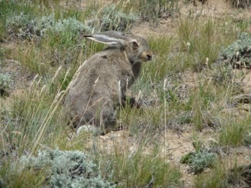
I stopped for lunch under the only tree for miles. It was heating up fast, and I welcomed the shade under the scraggly little tree. I settled down, took off my shoes and socks, and glanced over to see a HUGE black-tailed jackrabbit watching me. He stared at me momentarily and then slowly hopped maybe 20 feet away before turning to watch me again, long, floppy ears twitching slightly. He looked ancient, and I smiled at fond memories of a movie with my Dad years ago – Water Ship Down. I think Red Dawn and The Mule are the three movies I recall watching with him over the years, and Water Ship was my favorite.
After lunch, I headed up into the hills. My first water source was a windmill in Engineer’s Canyon. It was a great source, with water spilling out of the large tank. The cattle joined me for a drink, hardly paying me any attention, but as soon as I slung my pack up onto my shoulder, all hell broke loose, and frightened cattle stampeded down the canyon with mamas and babes calling pitifully to each other. There was one little set of twins that was adorable. They could not have been over a few weeks old.
The climb through the canyon after Engineer was like a roller coaster ride. That was the most up-and-down climbing I have done in quite some time. Dirt roads Cris-crossed each other, and all of them were laced with multiple cow trails. I had to follow my map closely, stopping constantly at intersections. The dirt roads looked well used, but I never saw or heard another vehicle. Bits and pieces of post-apocalyptic stories weaved in and out of my head as I walked.
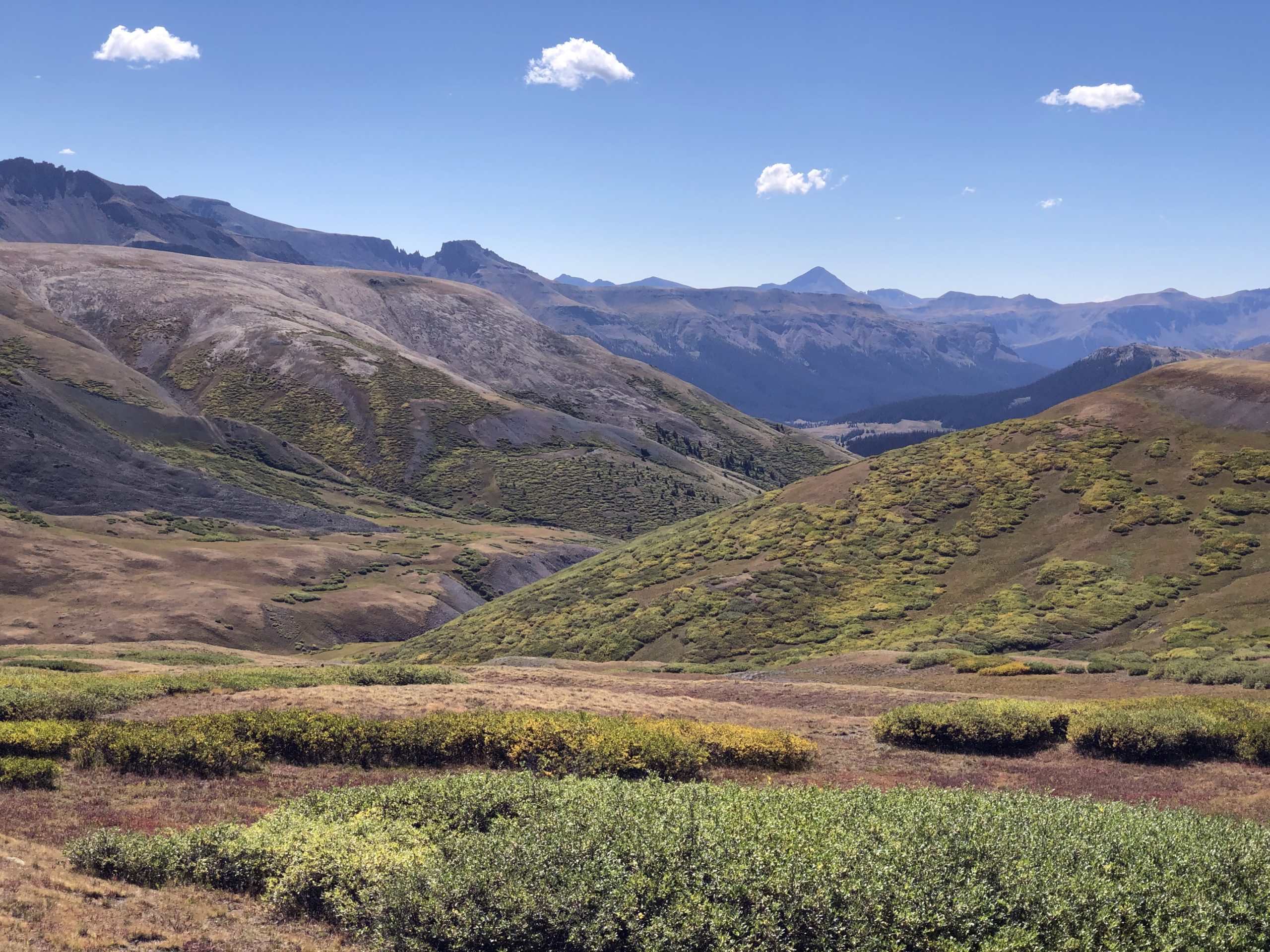
I was spent after 22 miles, and dusk was falling, so I began to search for a spot off the road with some soft duff. I doubted my Neoair would make it through a few hours, and this baked, dry ground was hard! I finally gave up and set up on a few dry leaves, spreading out my little piece of plastic and Wild Oasis. I ensured I was out of sight of the road and had excellent views over the dusky, purpling hills.
I had stopped earlier to eat dinner. I did not like to eat where I camped, so it was a quick setup to sleep. I leaned back on my sleeping pad, listening to what I thought was the slight hiss of air exiting a pinhole, and sighed. It was going to be a long night. I heard mamas calling to their babes in long, slow bawls, and the birds twittered in the bushes above me. Life was settling in for the night. I was right behind them. Once a balled-up pile of clothes hit my head, I would maybe last 5 minutes before falling into a deep, hard sleep.
I needed to get up early. I was going to hitch into Silver City tomorrow. There was an outfitter where I could replace my sleeping pad and get a new pair of shorts. It was the only outfitter for miles, so I needed to ensure I hit it after my stern shake-down week.


