Mattabesett Trail – Section 4
The New England Trail, or NET Mattabesett – Section 4, has some great features. The rock, views, and glacial pond make this my favorite section on the New England Trail. Today’s weather also made this another fantastic day for hiking.
Related Posts: My Hiking Day Pack’s Essential Items; NET Mattabesett Section 3
Section 4 – Quick Glance
Miles: 5.10
Start – Trail Head & Coordinates: 140-260 Pisgah Road, Durham CT – 41.449610, -72.668370
End – Trail Head & Coordinates: 344 Foothills road, Durham CT – 41.480071, -72.629080
Additional Planning Information: Planning Page
Difficulty: Moderate to Easy
NET Mattabesett Section 4 – Summary
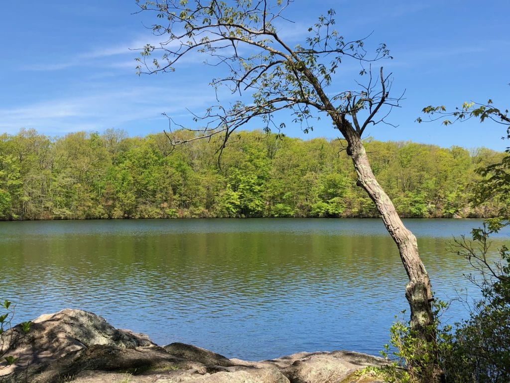
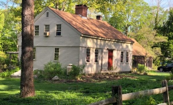
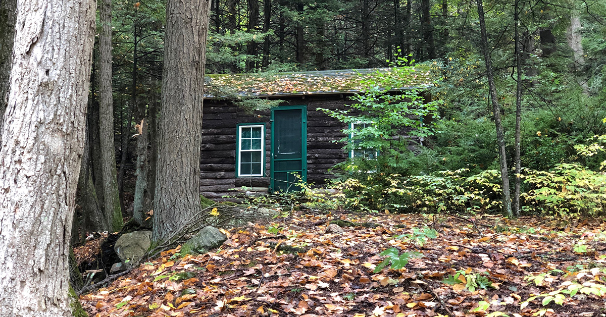
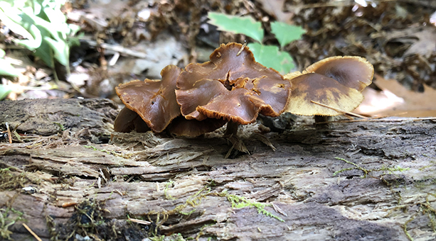
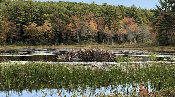
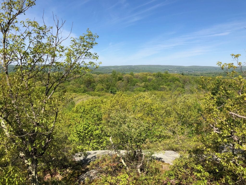
The pictures above provide good images from today’s hike. They illustrate why I really enjoyed the hike today. This section provided a great bit of classic New England landscape. The hike really was a lot of fun. The summary below offers some more details.
NET Mattabesett Section 4 – Hiking
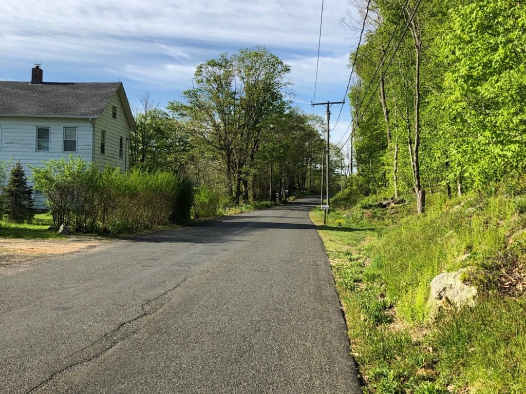
This morning was crisp and cool when I got dropped off for my hike. The narrow blacktop was completely silent as I adjusted my hiking poles after my ride had driven away. Even the birds stopped their morning song to watch and wait.
I looked across the road to see the trailhead for the NET headed south, but I was going north, so I turned and stepped quickly onto Pisgah road. I frowned slightly as my shoes slapped the hard black tar. Road walking was something I avoided.
The road was quiet, and it was not long before I crossed over Route 79 and took a right onto Old Blue Hills Road. Checking my GAIA App, I walked until I reached the turn-off for the trail and headed over to the Trailhead and a sign for a reroute that had been in place for some time.
The trailhead was off to the right of Old Blue Hills Road, on the other side of a grassy pull-off. There was probably room for about 2 or 3 cars to park.
Connector Trail
I studied the reroute and realized I would be missing a new section of trail that bypassed the road walking I had done. I had used the original NET maps – damn it! Going back was NOT an option, so I headed up the connector trail that intersected the Mattabesett.
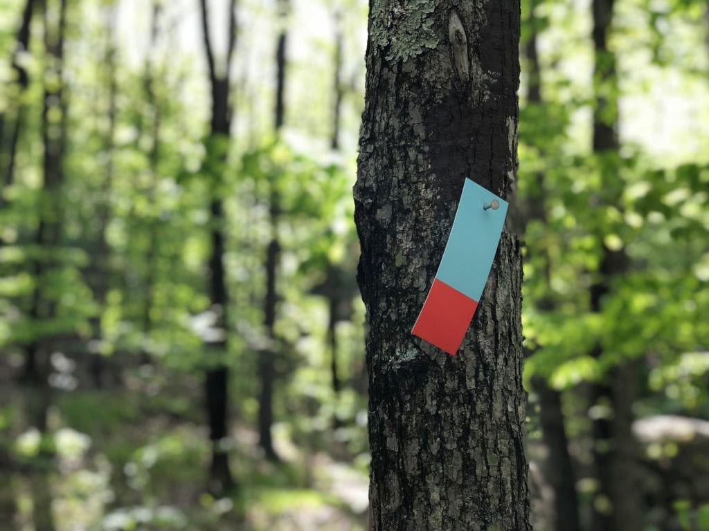
The connector trail was a little roller coaster, but it was well marked, and I knew I was on a connector by the multi-color blazes. The NET blazes were all blue.
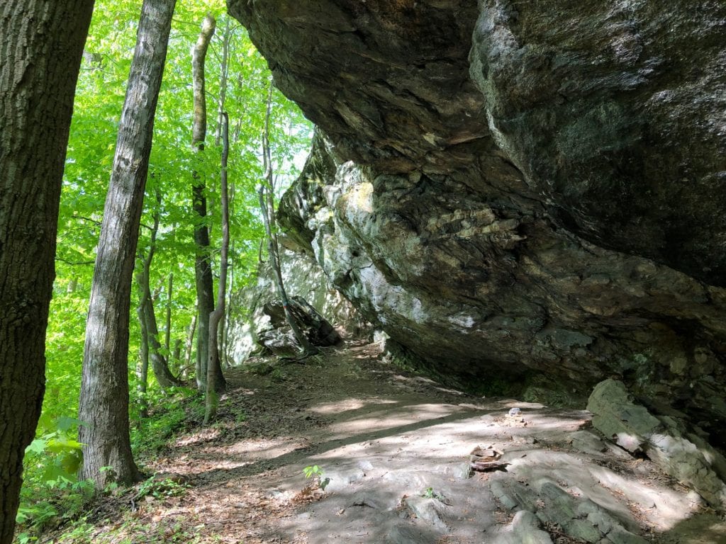
Rock features, cairns, and boulders – rocks were the theme for the Connector. The trail was well-worn for easy hiking, and there was a nice creek about two-thirds of the way down the trail. I may have missed a mile or so of the Mattabesett, but the Connector Trail made up for the miss.
Back on the Mattabesett Trail
The Mattabesett was definitely longer than the .7 miles indicated on the posted map, but the hiking flew by quickly. I love new trail, seeing what is around the next corner or over the hill.
I bring my ear pods for music or books but rarely wear them on section hikes. My mind is always consumed with new images and logistics. There is no need for any other distractions.
Mattabesett was not much different than the Connector, with some cool rock formations and a well-used trail. I crossed over Higganum Road, where I saw no real parking, and arrived at Harvey Road, where there was a small kiosk and room for 2-3 cars down to my right. The trail crossed the road up to my left.
Bear Rock
Bear Rock was not far past Harvey Road, and if you want to take a shorter hike and introduce new hikers to the NET, park at Harvey Road and Millers Pond and walk the trail between the cars. Those two miles are fairly easy, with some great views and a pretty pond at the end of the hike.
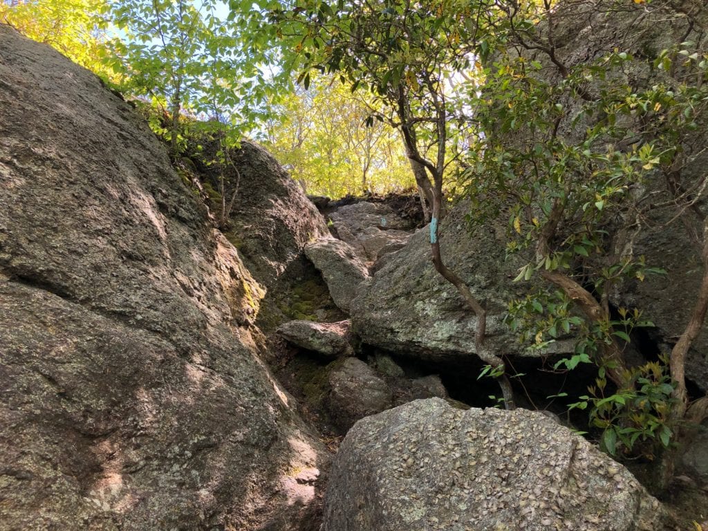
It did not take me long to get to Bear Rock, and I chose to climb up the steep south side instead of taking the Bypass Trail around and coming up the other side of the rocks. If you don’t want to do a little hand-over-hand scrambling, take the Bypass trail around and walk up for the views.
Miller’s Pond
Miller’s Pond was only about a mile after Bear Rock. The trail wound down through bright green birch trees. They are my favorite as the bright leaves burst forth with new life. I love to stop and stare up into the egg-blue sky. The contrast between the birch leaves and the vivid blue sky is striking.
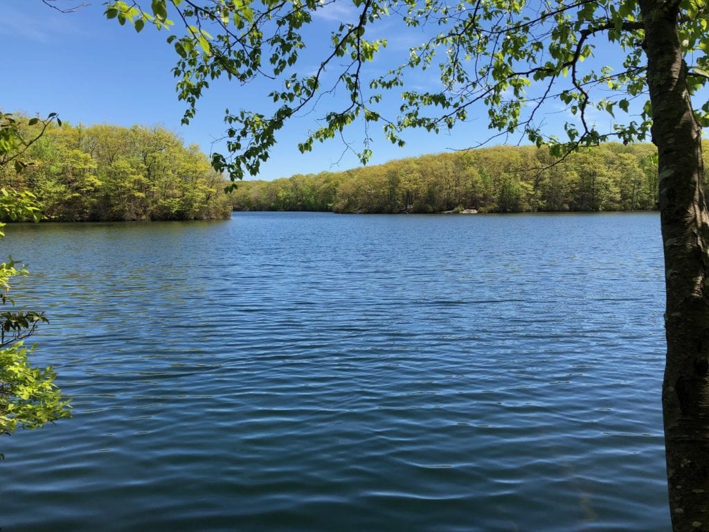
Miller’s Pond was picturesque. The trail brought me out onto a small grassy area on the far side of the pond where two people were fishing. I stopped to take a photo and said hi, as they both paused to put on masks. These are crazy times.
Again, the new spring shades of green contrasted with the clear, dark pond water. I heard voices but could see no other people, but as I walked around the pond, I began to encounter more people out walking. It was busier than I expected on a weekday. I can’t imagine what this area must be like on the weekends!
Wrapping Up the Hike
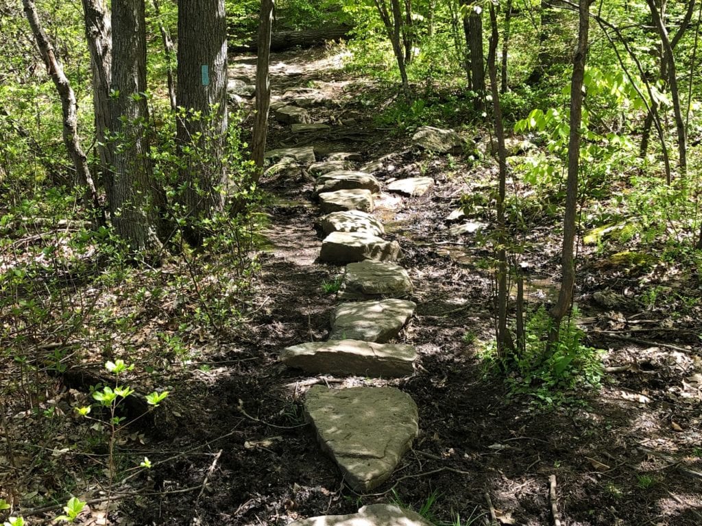
The walk around Miller’s Pond was rocky and rooty but well maintained. Stepping stones had been placed in the low-lying areas and across small creeks flowing into the pond. I would definitely like to come back and walk around the pond.
I left Miller’s Pond and headed back towards Wiese Albert Road and Foothill’s Road. This short hike ended at Wiese Albert, where the trail crossed over to rejoin Foot Hills Road. There is no parking here if starting sections 3 or 4 here. You will need to park at the Miller’s Pond parking area.
Section 4 is definitely a section I would recommend, especially if bringing someone for the first time. I enjoyed Bear Rock, Miller’s Pond, and all of the rock and water features along this section of the trail. This is also a spectacular time of year to hike. All the trees are bursting with color as they transition from late Spring to Summer and the many shades of new green scream life and Spring.
