New England Trail Birds
The New England Trail is a residential trail, which means it is close to large population centers and suburban communities. There is a lot of road walking in many sections, and in some cases, the trail corridor is only a few hundred feet. Today provided numerous reminders of why this reasonably new National Scenic Trail can be frustrating.
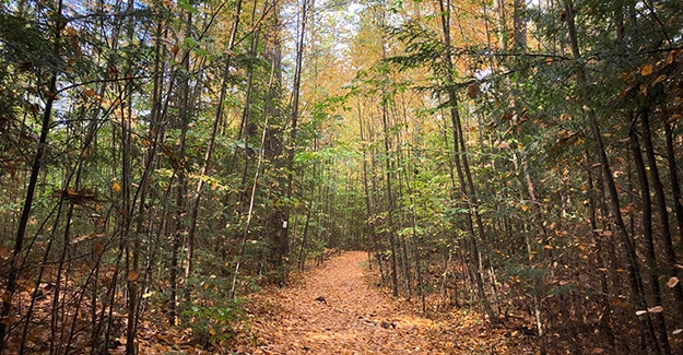
I was up with the sun and hiked down from Mayo Hill through the chilly, damp morning air. The forest was quiet as I passed. New England Trail conditions were fine as I bounced along the wide, leaf-covered path. The single most noticeable thing about hiking now vs. hiking 30 years ago is the absence of bird songs. There are not nearly as many birds as there were when I was younger.
Last year was the first time that the absence of birds had registered. The silence around me, while I hiked had become noticeable. I grew up in the south and was awakened by bird songs on warm spring mornings. Being awakened by those songs of joy was one of the things I loved most about rising early.
Concerned about the absence of the birds I enjoyed so much, I began looking for information. I found several articles similar to this and was alarmed by what appeared to be a drastic reduction of 30% or 3 billion birds in the US and Canada.
This morning reminded me of those articles, and I paused to listen and look through the trees, softly whispering, “Where are the birds?”
First Trail Magic
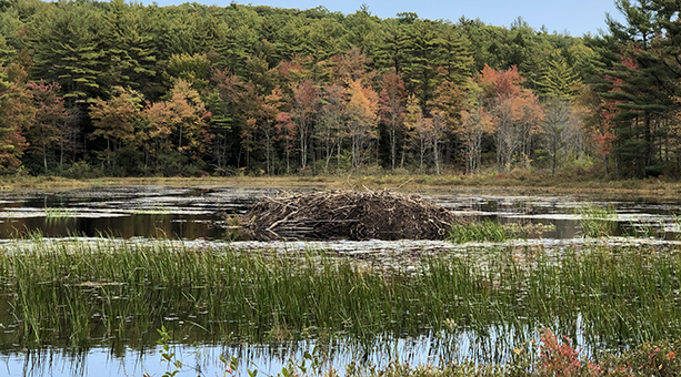
After climbing down Mayo Hill, I crossed Richards Road and passed Richards Reservoir. Many of the reservoirs are challenging to reach from the trail, but the trail dropped right to the shore, where I filtered a liter of water with my Sawyer Filter. Fall colors were beautiful across the reservoir.
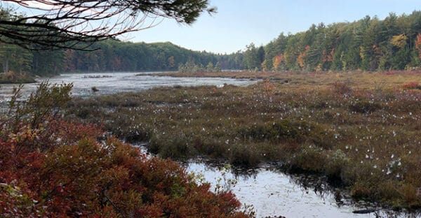
The hiking was easy as the trail rambled through rolling hardwood and spruce forest, arriving at and traveling up Old Winchester Road for a short distance before turning back into the woods.
Crossing over Route 78, I hiked about a quarter-mile, beginning a climb up to Mt. Grace that would take me by the second shelter on the trail.
A black lab came barreling towards me about 75 yards from the shelter, letting out a deep warning bark. A Weimaraner puppy followed the labrador with a deep puppy warning. I paused and dropped my hiking poles so I did not present a threat. The lab slowed to study me cautiously while the puppy continued flying towards me, switching to furiously wiggling as she slid into my legs.
Behind them was an owner yelling, “They are friendly.” I can’t even count the number of times this scene has played out on different hikes. Sometimes they are friendly, and sometimes they are not.
I was hiking the AT in 2005 and watched as a large German Shepherd about ripped the arm off another hiker I was hiking with right after his owner said, “He is friendly.” But, unfortunately, dogs are unpredictable in new situations. They can become very protective and territorial.
Two women were hanging out at a traditional three-sided shelter. The older woman had set up her single-person tent in the shelter, and the younger woman had hiked in with her two dogs to visit her. We chatted for a few minutes while I played with the puppy, and they asked questions about my hike.
The younger woman lit up when I explained I was hoping to finish the rest of the trail over the next two weeks and offered me the use of a covered shelter on the property behind her house. She lived a few days up the NET, right along the trail. Finding camping was not always easy, so I told her I might take her up on her offer.
Waving, I bid them a good day and turned to climb up to the summit of Grace Mountain. The women warned me the hike up Grace was strenuous, but I had hiked the Colorado Trail about a month earlier, so walking the 800 feet up to the summit of Grace was a moderate climb at best.
I could stretch my legs and powerfully stride to the top of a climb that would have left me winded six months ago. I can feel my muscles burn and build up a good sweat, but aerobically I barely skipped a beat, breathing easily through the climb.
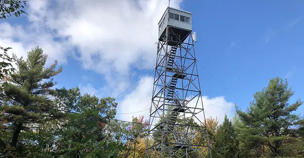
New England Trail – Amazing Views
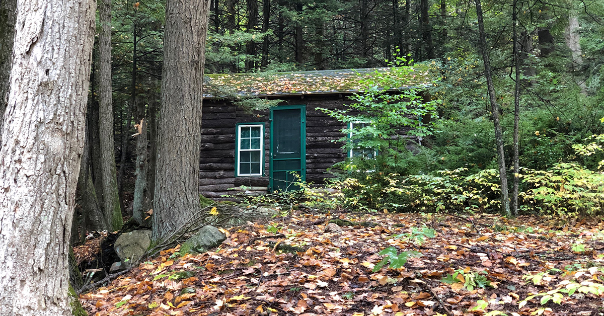
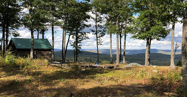
The climb down Mount Grace was steep but passed quickly, and I crossed several more roads before reaching Richardson-Zlogar Cabin. I have hiked many trails and seen many shelters, and this cabin and the camping areas immediately around it were one of the nicest I have seen.
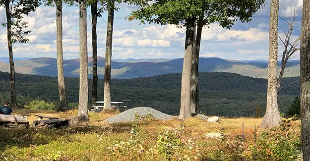
The views were fantastic, and I stopped to speak with the men using the two tent platforms. Then, looking out towards the horizon, one of the men named the mountains for me, including Mount Monadnock. If it had been a little later in the day, I would have found a place to pitch my tent, but it was still early, so I snapped pictures before hiking.
If other long-distance hikers are reading this, plan to make this one of your camping stops.
New England Trail – Lost on South Mountain Road
After leaving the cabin, the trail traveled through some older-growth forest, descending to Gulf Road, where I began a long road walk, eventually taking a right onto South Mountain Road.
The trail had been rerouted around Crag Mountain and onto these roads, but there was still a Blue Blaze Trail that you could climb up to Crag Mountain from a dirt road off South Mountain Road. I only knew this because the trail was on my map, and I later asked people parked on the side of the road.
It was growing late as I looked for where the trail turned off South Mountain Road. I finally arrived where the maps indicated I should leave the road and found a faint unused trail. The blaze on the electric pole had been painted over with brown paint, showing the trail had been moved.
I hiked down South Mountain Road, returning to the faint trail, and then sighing in frustration; I started down the old trail. Unfortunately, the trail disappeared within 20 yards, and I could not determine where to go around a large outcropping of rock. I was also basically in the backyard of a large home where they appeared to be having a party in the backyard. I was not invited and doubted I would be welcomed, so I turned and headed back to the road.
The growing darkness made me anxious to either find the trail and disappear into the forest to find camping or call a taxi to take me to a hotel. Since I could not find the trail, I called three taxi companies and got no answers. Everything went to voicemail.
I stood shivering in the middle of the suburban road, looking at the houses and wondering if I should ask to camp in the woods behind someone’s home. It was getting cold, and I wanted to crawl under my warm quilt.
I was in New England on an unknown trail. If I knocked on someone’s door and asked to sleep on their property, I had about an 80% chance of having the police called on me. New Englanders are a cautious lot.
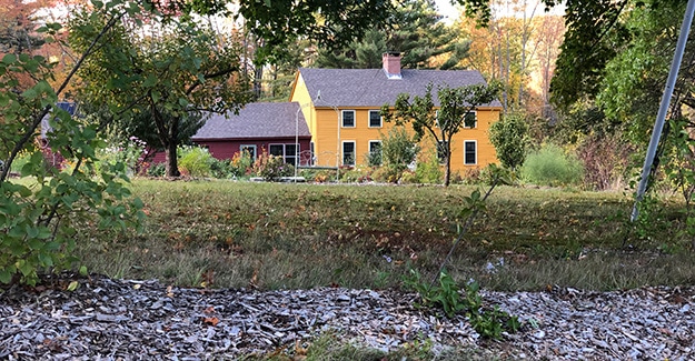
New England Trail – Leg Bone Camp
Looking at my maps again, I walked back down to the dirt road that headed up to the Blue Blaze Trail and began walking up the road. About 100 yards up, I swung into the woods on my right and over a low hill. A faint animal trail led into the woods, and I stopped to study some leg bones scattered across the leaves. Not being an expert on bones, I hoped they were animal bones. A little spooky.
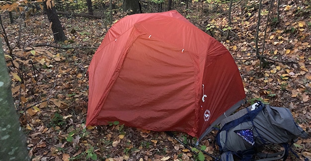
The trail continued down the mountain before leveling out for a few yards. I could barely see at this point, and I turned right and headed into the hardwood trees to find a clear, flat spot for my Big Agnes Copper Spur UL 1 tent. I like this tent because it has a small footprint, making it easy to find camp spots.
Road walking, wandering around, lost, and the anxiety of finding a place to stay for the night was tiring. This campsite was not ideal, but there were no residences near me, and I appeared to be on Land Trust property.
I would get up and out early in the morning.
